The best place in Austria.
History
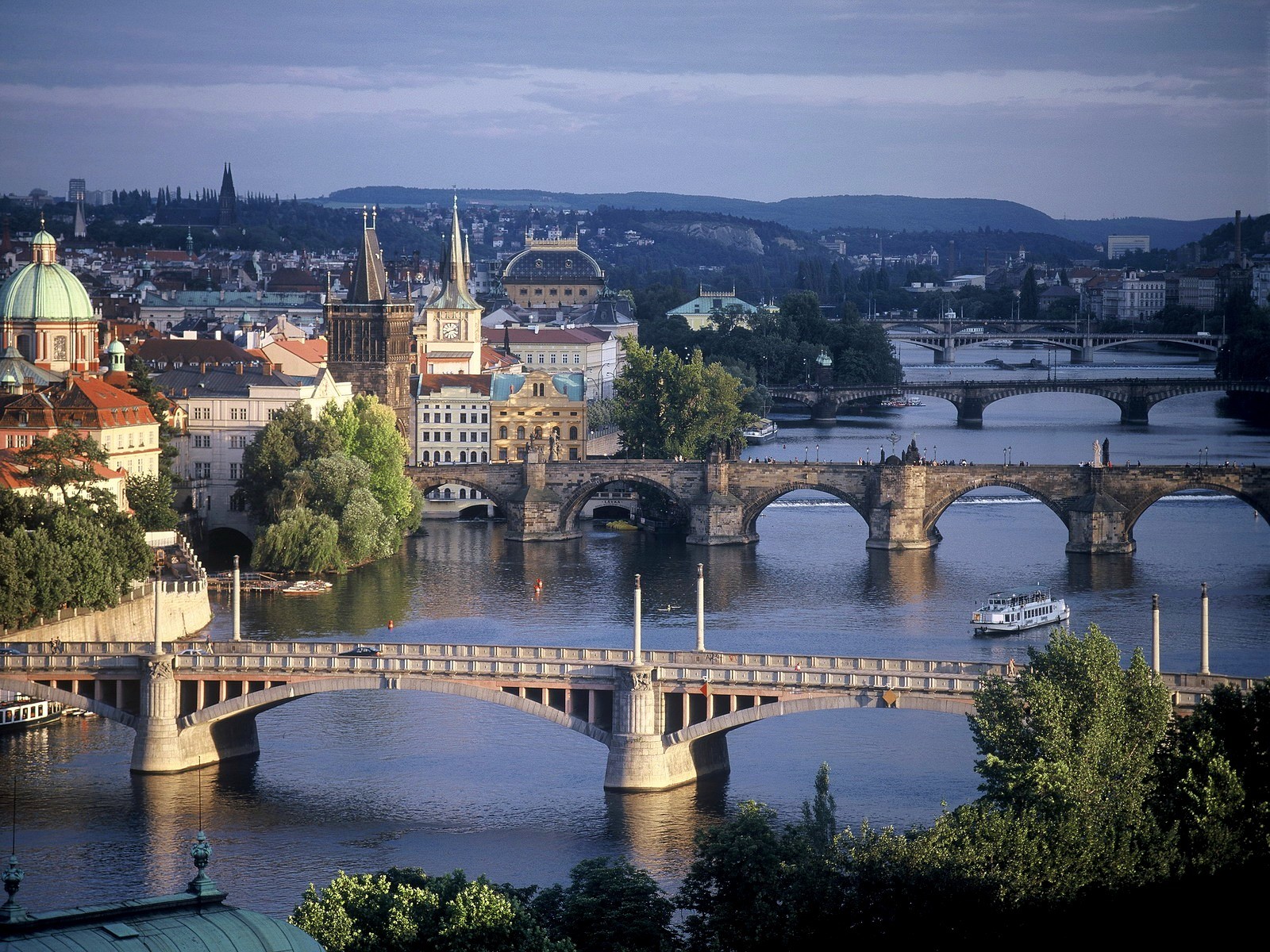
The old town lies in a depression that is surrounded by steep hills. Vienne is among the richest French repositories of Roman and medieval buildings. The town's Roman temple dates from the early 1st century CE. It became a Christian church in the 5th century, was used as a club for the Jacobins during the French Revolution (1787-99), and was restored to its original aspect in 1860. The ruined Roman theatre on the slopes of nearby Mount Pipet could seat more than 13,000 spectators and is still used for theatrical performances.
In the centre of the town, excavations in the 1960s and '70s uncovered the walls of a 1st-century theatre and temple consecrated to the Eastern divinity Cybele.
On the right bank of the Rhône, excavations have uncovered Roman residential and industrial quarters extending over 10 acres (4 hectares).
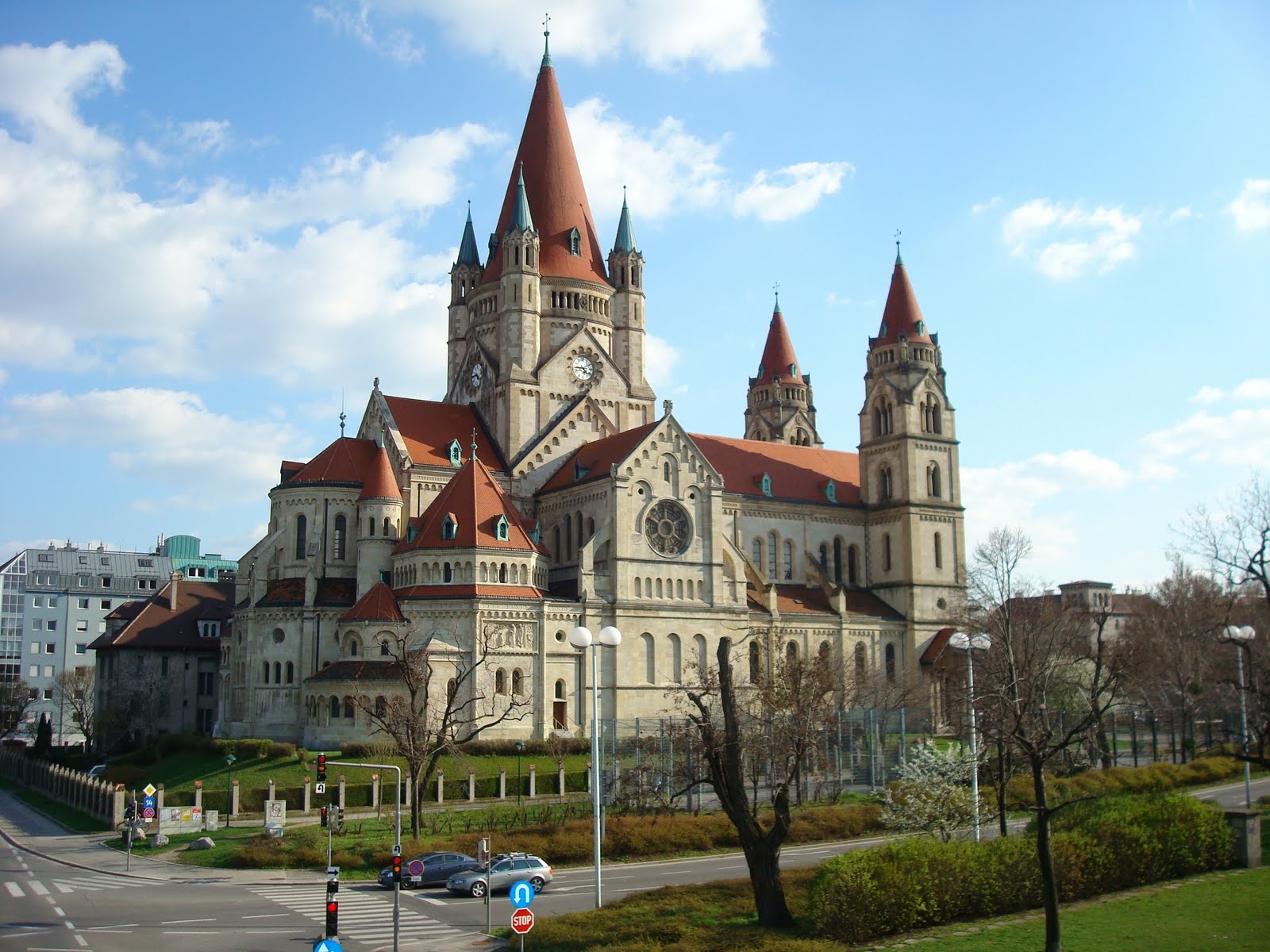
Vienne has three important medieval churches. Near the Rhône Bridge is the 9th-century church of Saint-André-le-Bas, which was rebuilt in the 12th-13th century. The former Abbey Church of Saint-Pierre was begun in the 4th century and is one of the oldest Christian churches in France. It now houses a museum of Roman sculptures and other antiquities. The largest church in the town is Saint-Maurice Cathedral, which was built in the 12th-15th century.
Auvergne-Rhône-Alpes
Auvergne-Rhône-Alpes, région of east-central France created in 2016 by the union of the former régions of Auvergne and Rhône-Alpes. It encompasses the départements of Allier, Puy-de-Dôme, Cantal, Haute-Loire, Loire, Rhône, Ain, Haute-Savoie, Savoie, Isère, Drôme, and Ardèche. It is bounded by the régions of Centre and Bourgogne-Franche-Comté to the north, Nouvelle-Aquitaine to the west, and Occitanie and Provence-Alpes-Côte d'Azur to the south. Italy and Switzerland adjoin to the east. The capital is Lyon.
In June 2014 French Pres. François Hollande announced a plan to reduce the number of régions in metropolitan France from 21 to 13. The reorganization was designed to address redundancies in regional bureaucracies and to reduce costs. In November 2014 the National Assembly approved the measure, and it took effect on January 1, 2016. The région of Auvergne-Rhone-Alpes was thus created, encompassing a large portion of east-central France. Area 22,176 square miles (69,711 square km). Pop. (2015 est.) 7,877,698.
Council of Vienne
Council of Vienne, 15th ecumenical council of the Roman Catholic church (1311-12), convoked by Pope Clement V at the insistence of Philip IV of France, who demanded the posthumous trial of Pope Boniface VIII and the suppression of the Knights Templars, one of the great military religious orders founded during the Crusades. Vienne, near Lyon, was chosen because it was easily accessible and because it was in a practically independent state that was not acquired by France until 1349.
Philip invited all Western bishops to attend; though he personally ordered 230 to be present, only about 120 came. No trial was held, but the Templars were suppressed by a papal order issued independently of the council. Besides voting money for a crusade and issuing reform decrees, the council heard complaints of opposing factions among the Franciscans—the Spirituals and the Conventuals—concerning the practice of poverty and sided with the more moderate Conventuals;
Clement sanctioned their decision.
Physical features
The Rhône originates in the Swiss Alps, upstream from Lake Geneva. It comes into being at an elevation of about 6,000 feet (1,830 metres), emerging from the Rhône Glacier, which descends the south flank of the Dammastock, a nearly 12,000-foot (3,700-metre) peak.
The river then traverses the Gletsch Basin, from which it escapes through a gorge, and flows along the floor of the Goms Valley at an elevation between 4,000 and 4,600 feet (1,200 and 1,400 metres). It next enters another gorge before reaching the plain of the Valais, which extends between the towns of Brig and Martigny, and descends in elevation 2,300 to 1,600 feet (700 to 500 metres).
In crossing this high and rugged mountain area, the river makes successive use of two structural troughs: the first runs between two ancient crystalline rock massifs—the Aare and the Gotthard—and farther downstream the second runs between the arched rock mass of the Bernese Alps and, on the south, the massive rock face of the Pennine Alps. From Brig onward the landscape changes. During the last Ice Age a large glacier, fed by several small ones, plowed down the valley floor of the Valais and, except for some harder rock obstacles found near the town of Sion, succeeded in widening and deepening the narrow valley floor.
As it did so, it held back both the upper Rhône and those of its tributaries that come down from the Pennine Alps. When the ice sheets retreated, both the tributaries—the Vispa, Navigenze, Borgne, and Drance—and the Rhône cut new deep gorges to connect their lower courses to the new valley floor. These gorges have created considerable difficulty for modern transportation, necessitating a series of hairpin-bend road links.
After Martigny, where the valley floor is wider, the youthful Rhône thrusts northward at a right angle, cutting across the Alps through a transverse valley. At first, near the town of Saint-Maurice, this is no more than a small gorge, but it soon becomes wider and flatter. There, too, the river route has been assisted by structural factors, specifically by a dip in the crystalline rock massifs running from Mont Blanc to the Aare and by the discontinuity between the limestone masses of the Dents du Midi and of the Dent de Morcles. Across the mountain barrier the muddy waters of the Rhône enter another wide plain surrounded by high mountains and then plunge into the clearer, stiller waters of Lake Geneva, forming an enlarging delta.
Copyright ©2022 All rights reserved | Made with by Threefan